Predicting the initiation and intensification of lightning using novel satellite observations
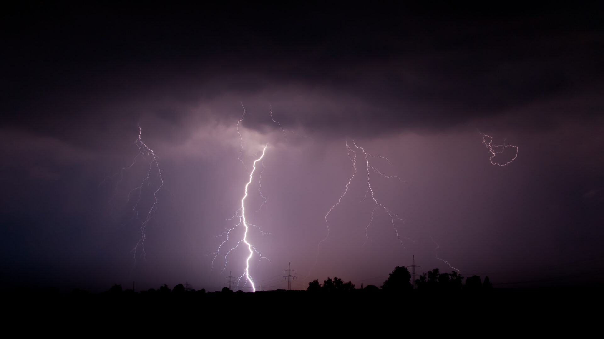
Lightning is a fundamental component of severe convective storms, both as a direct hazard and as a visible indicator of other extreme weather impacts such as hail, damaging winds, and extreme rainfall. Predicting when and where lightning will initiate, and how it will subsequently intensify, is crucial not only for advancing scientific understanding of storm electrification but also for improving early-warning systems that reduce risks to life, aviation, and power infrastructure.
Nowcasting, the short-term prediction of high-impact weather on timescales of minutes to a few hours, has become an increasingly important forecasting tool. Unlike longer-range numerical weather prediction (NWP), nowcasting relies on rapid, high-resolution observations of developing storms to anticipate their evolution. This has created a need for new observing systems that can deliver continuous, wide-area monitoring of storm development.

The Meteosat Third Generation (MTG) mission, operated by EUMETSAT, provides an unprecedented opportunity to address this challenge. Two instruments are particularly relevant: the Lightning Imager (MTG-LI), which offers continuous geostationary measurements of lightning, and the Infrared Sounder (MTG-IRS), which uses hyperspectral infrared observations to produce high-vertical-resolution profiles of temperature and humidity. Combined, these instruments allow researchers to investigate the link between storm electrification and its underlying thermodynamic environment, and provide earlier and more reliable warnings of severe storms.
PhD project
The proposed PhD project will exploit MTG-LI and MTG-IRS to:
- Characterise the environmental conditions that precede thunderstorm and lightning initiation by combining thermodynamic profiles with first-flash observations.
- Identify predictors of lightning intensification (“lightning jumps”) using MTG-IRS profiles, NWP forecasts, and complementary satellite products observing clouds.
- Develop machine-learning predictive models for lightning initiation and intensification, testing how much lead time can realistically be achieved through satellite-based nowcasting.
The analysis will focus on carefully selected storm cases across Europe and Africa, enabling comparisons between midlatitude and tropical convective environments. MTG-LI observations of cloud and lightning activity will be matched with MTG-IRS atmospheric profiles to identify precursors to storm initiation, electrification and subsequent surges in lightning rates. Machine learning approaches will then be trained to forecast lightning onset and intensification.
Research group
The University of Leeds Atmospheric Dynamics research group, which you will join, is internationally recognised for its work on African weather and climate. Established collaborations with African meteorological agencies will offer the student opportunities to engage with operational forecasters and build professional networks across the global weather and climate community. Meanwhile, collaboration with the UK Met Office will give the student access to expertise in operational forecasting and facilitating the translation of research findings into practice.
In addition, the research group has developed and operates FASTA, a nowcasting application used across several African countries. Forecast models and lightning predictors developed in this PhD could directly enhance FASTA, enhancing its capability to deliver more accurate and diverse information to users.
PhD aim
By integrating state-of-the-art satellite data, this project can advance fundamental knowledge of storm formation and electrification, while also supporting operational weather services in providing severe weather alerts.
Further reading
Nowcasting: what happens next? | Royal Meteorological Society
Meteosat Third Generation (MTG) | EUMETSAT
ESA – European satellite strikes lightning
ESA – Why MTG-S1 is a nowcasting game-changer
Using MTG Lightning Imager (LI) to track convective storms | EUMETSAT – User Portal
An Early Warning System for Storms | Leeds Institute for Fluid Dynamics