Project Description:
Satellite observations have revolutionised our understanding of the Earth’s ice sheets. They provide near-continuous monitoring of characteristics such as ice
flow, surface elevation changes, and melting. Synthetic Aperture Radar (SAR) is a key satellite technology for polar science due to its ability to image the
Earth’s surface through clouds and during the polar night.
Recent growth in satellite technology has led to a proliferation of commercial SAR operators with constellations capable of acquiring data over the polar
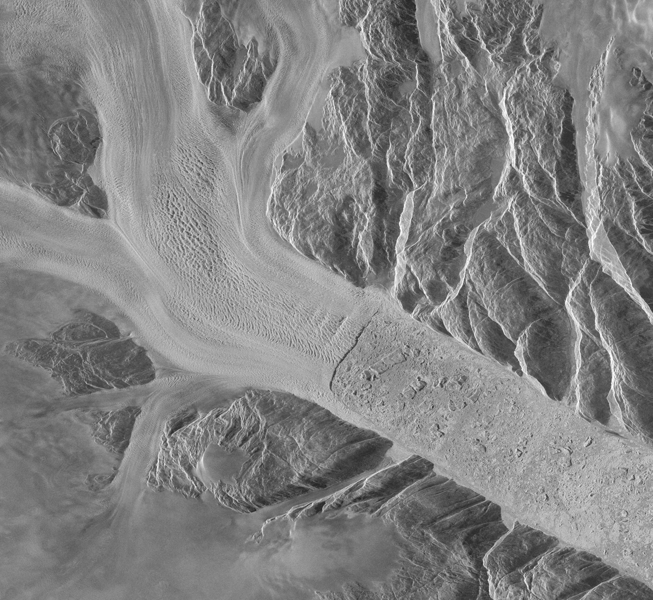
regions at higher temporal and spatial resolutions than previously available from public space agency missions. In this project, you will use commercial SAR
images acquired over the Antarctic Peninsula and Greenland Ice Sheets to measure the flow of glaciers and monitor their dynamic behaviour.
Thanks to the high resolution of these data, you will map glacier flow with unprecedented spatial detail, revealing new insights into their dynamic behaviour,
such as short-term speed variability, shear strain, and responses to iceberg calving. These data will then be compared to ice velocity measurements from
public satellite missions to establish the relative performance of commercial SAR data and understand its role within the systematic monitoring of ice sheets
in the future.
Project Plan and Timeline
This project has a duration of six weeks, divided into three key stages:
Weeks 1–3: You will produce ice velocity datasets from commercial Synthetic Aperture Radar (SAR) imagery and analyse the spatial and temporal
characteristics of glacier flow. Weeks 4–5: You will compare your findings to existing ice velocity data from other satellite missions to evaluate the performance and utility of these new
commercial datasets. Week 6: You will produce a short report and a presentation detailing the project’s outcomes.
Skills and Development
Through this project, you will learn how to measure ice velocity using SAR data and develop technical proficiency in scientific programming, satellite remote
sensing, GIS, and geospatial analysis. You will gain understanding of ice sheet flow dynamics and remote sensing glaciology. Additionally, you will have
opportunities to present your work to colleagues, gaining valuable experience in communicating scientific data and results.
Environment and Supervision
As a participant, you will be a member of the Satellite Ice Dynamics research group within the Institute for Climate and Atmospheric Science. You will be
invited to attend group meetings, journal clubs, and technical sessions. Supervision will be provided through weekly 1-to-1 meetings and informal catch-ups
as needed. To gain the maximum benefit from the research environment, it is recommended that you are available to work on at the School of Earth and
Environment on Leeds main campus at least two days per week.
Pre-requisites:
Prior experience in glaciology or a research environment is not required. However, a strong background in a numerical STEM subject, including coding
experience (Python or MATLAB), is highly desirable. The project is well-suited to students from Mathematics, Physical Sciences, or Engineering degrees
seeking to explore research in Environmental Science, or students from Geography and Earth Sciences wishing to strengthen their quantitative and analytical
skills.
Supervisory Team:
Benjamin Wallis:
Contact:
Benjamin Wallis: [email protected]